Uma Oya
Largest basin to basin water transport in Sri Lanka which was inaugurated by the president of Sri Lanka
location
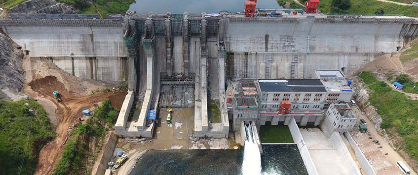
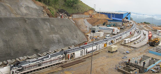
The Uma Oya Multi-Purpose Development Project is located 200 km east of Colombo Uva Province of Sri Lanka. It consists of the construction of two dams across two main tributaries of Uma Oya at Welimada and Dyraba and a 23 km long trans-basin diversion tunnel with an underground power station at Randeniya.| Dam Type | Two RCC Dams |
|---|---|
| Dam Height above Foundation (m) |
|
| Dam Crest Length (m) | 1550 |
| Total Reservoir Volume (MCM) |
|
| Diversion Culvert Length (m) |
|
| Mean Annual Discharge (MCM) | 218 |
| Powerhouse Type | Underground |
| Dimensions (m) |
|
| Spillway Type | Free Overflow |
| Energy Dissipater Type | Flip Bucket & Plunge Pool |
| Installed Capacity MW | 2 x 60 |
| Annual Energy | 290 GWh |
Objectives
The main objectives of Uma Oya Multi-Purpose Development Project are as follows:
- Generation of hydropower
- Irrigation of farmlands
- Supplying drinking water
- Supplying industrialwater
- Supplying water for the second International Airport in Hambanthota, the Industrial Zone of Hambanthota, the Hambanthota Harbor and the Oil Refinery